Cycling in Ghent: City Routes, Waterways and Bike Hire
Plan a bike ride through Ghent with the 14.1 km waterside junction route, the 342 km Art Cities Route and the car-free centre, plus city bike hire.
On this page
Cycling in Ghent means two very different rides: a flat 14.1 km loop around and through the city on numbered junction signs, or a multi-day run along the 342 km Art Cities Route. For a one- to four-day break, start with the city loop, which strings together the main sights without any climb worth mentioning.
This guide covers why the centre is so easy to ride, what the waterside loop passes in order, where to hire a bike, and the longer routes that leave the city. It also names the one part of the Art Cities Route that is not signposted so you can plan around it.
Why Ghent suits a bike
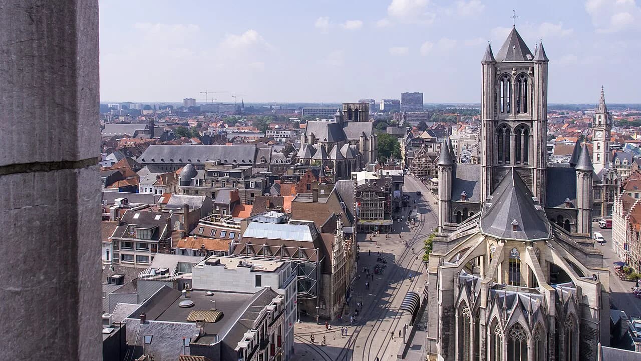
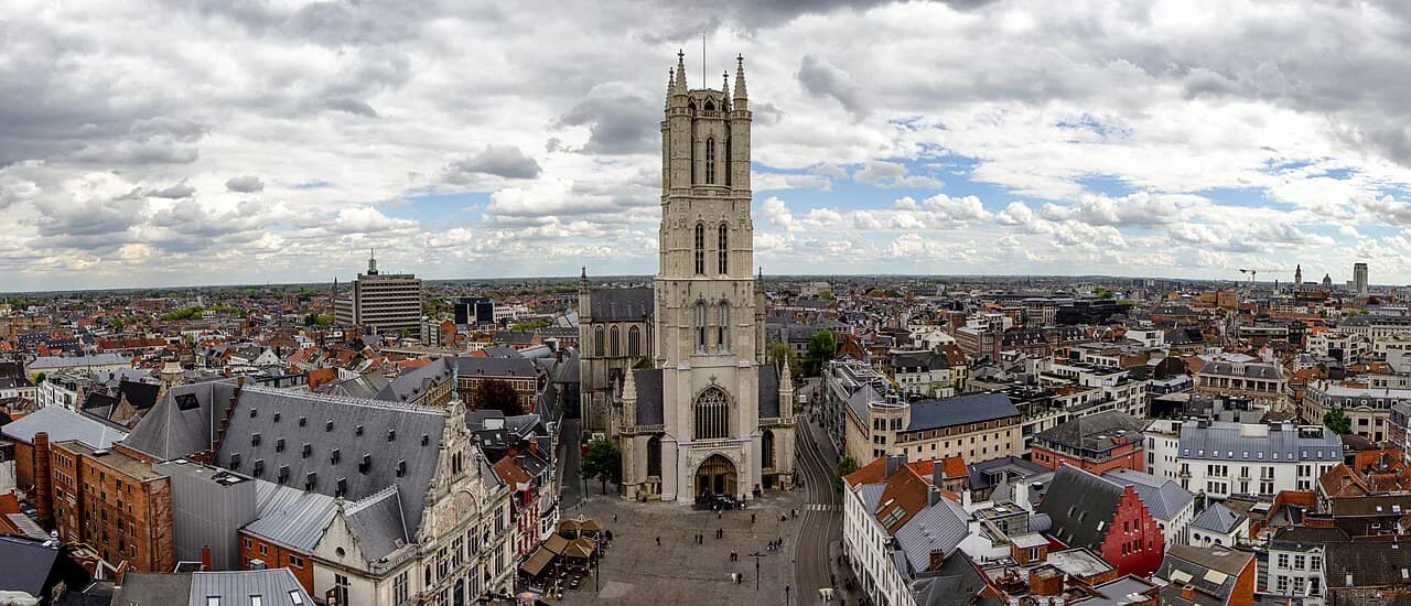
Ghent has the largest car-free historic centre in Belgium at 70 hectares, and the speed limit inside the inner ring is 30 km/h. That combination makes the core calm enough for a nervous rider, though you still share the road with trams and delivery traffic outside the pedestrian zone.
The 2017 circulation plan split the centre into sections and pushed through-traffic onto the ring road, changing the flow of around 80 streets. In practice, a bike now beats a car for crossing the middle of town, and the one-way system matters far less to you than it does to drivers.
The city has also built over 20 bicycle streets and almost 400 km of cycling infrastructure, with a signalisation system introduced in 2021 that was designed to be readable by first-time visitors. If you can follow a number, you can follow a route here.
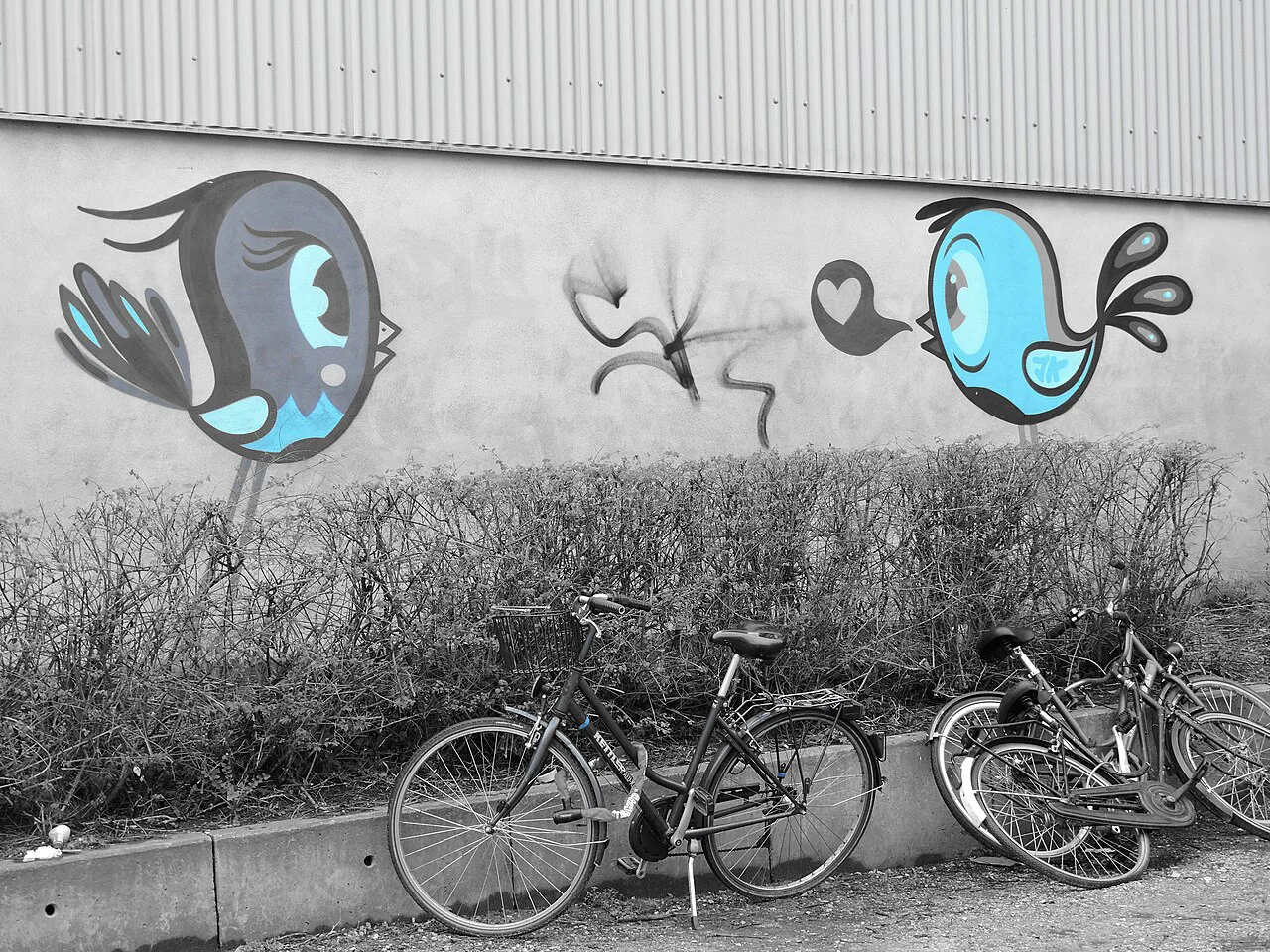
How the numbered junction signs work
Flanders signs its recreational routes with green numbered junction boards, and each board carries a single figure. You write down or photograph the sequence of numbers for your route, ride to the first one, then simply follow the arrows to the next number in the chain until you reach the end.
The waterside loop runs from node 68 to 52, then 4, 31, 92 and 93 back to 68. That is worth noting because it removes the need to hold a phone in your hand: a short list of numbers taped to the handlebars is enough.
The 14.1 km Along Ghent's waterways route
This introductory ride is 14.1 km long and 98% paved, starting from Zuiderlaan 14 near the Watersportbaan. The hard surface means a city bike, a rented town bike or even a sturdy commuter will handle it comfortably; there is no need for gravel tyres or suspension.
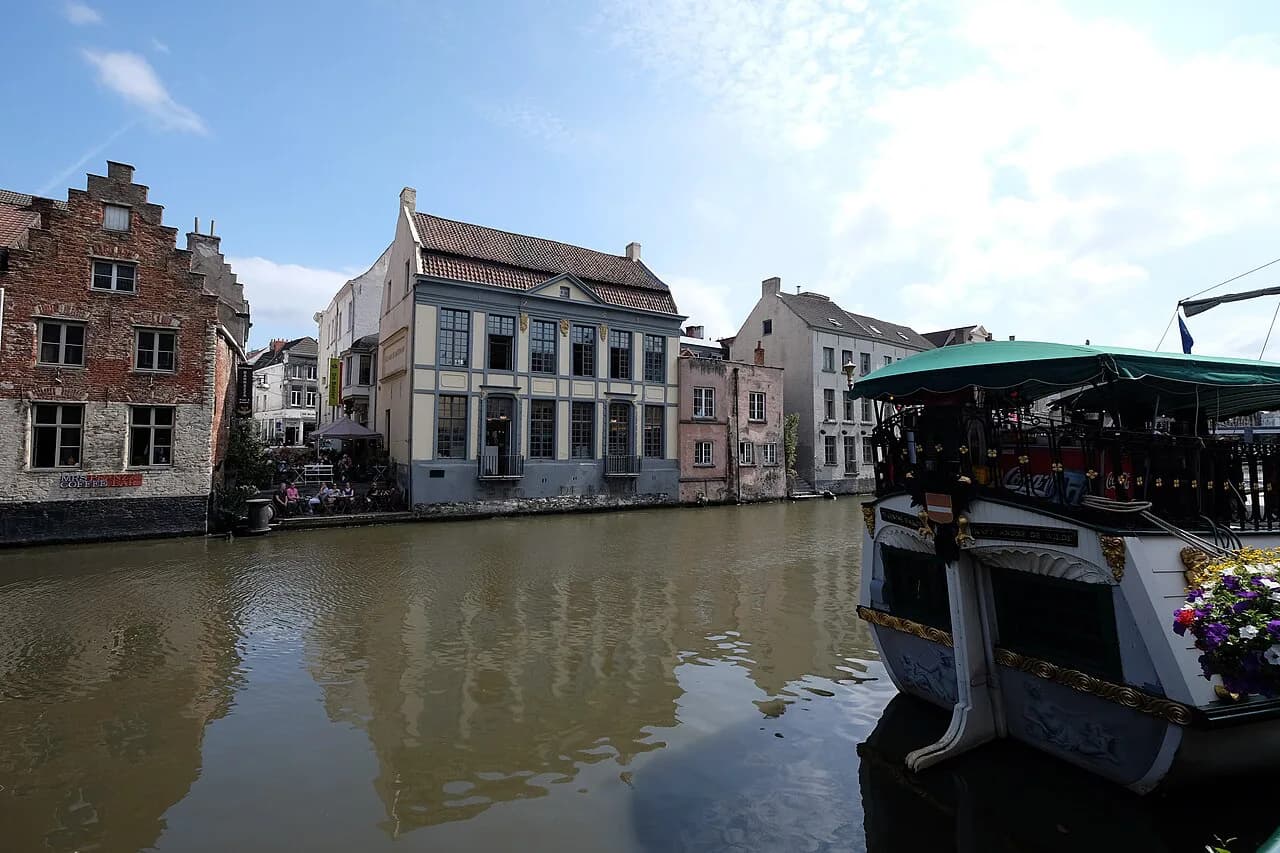
The first stretch follows the Georges Nachez National Watersports Course, a rowing course 2.3 km long and 67 metres wide, with the Blaarmeersen park and its outdoor swimming and sandy water playground alongside. Allow two to three hours with stops, or a half day if you plan to go inside the museums.
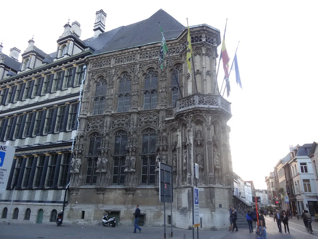
What you pass on the waterside loop
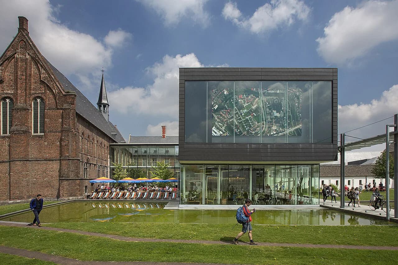
The route reaches STAM, the city museum, on the Bijloke site, where a modern building sits against 14th-century abbey wings and a 17th-century monastery. Inside, a chronological circuit covers Ghent's growth from the Middle Ages onwards, which is a useful primer before you look at the real streets.
Next comes the Citadelpark, site of the 1913 World's Fair and home to two major museums: the MSK for art from the Southern Netherlands up to the first half of the 20th century, and the S.M.A.K. for contemporary work. The Ghent University Museum, opened in 2020, sits on the edge of the same green space.
Sint-Baafsabdij is one of the most atmospheric stops, a medieval quadrangle among overgrown ruins where a hornbeam colonnade now marks the lost church. It opens from April to November on Friday, Saturday and Sunday afternoons from 2pm to 6pm, so the loop is best ridden at a weekend if you want to go in.
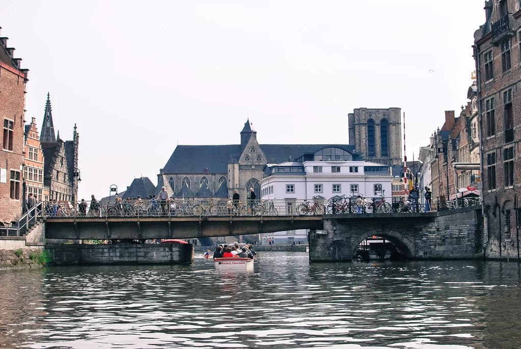
Portus Ganda marks the spot where the Lys and the Scheldt meet and Ghent was founded, now a marina with bridges, small parks and the restored art deco Van Eyck swimming pool nearby. For a fuller picture of the old centre on foot, the Ghent old town guide covers the streets around the Graslei and Korenlei.
The second half: mills, courtyards and the castle
The Industrial Museum occupies an old cotton mill and traces the textile trade that made Ghent a factory town; the lift to the top floor gives one of the best views of the city. This is the stop where the bike pays off least, because you will want time inside rather than a quick wheel past.
The Huis van Alijn then turns to ordinary 20th-century life through photographs, film and reconstructed rooms, with a folk café and courtyard garden attached. From there the route threads the Patershol, a car-free medieval grid of narrow alleys, which is far easier to explore on foot than with a bike.
Gravensteen closes the sightseeing run: the former residence of the Counts of Flanders and the only surviving medieval moated castle in Flanders with a virtually intact defence system. The keep gives a fine view over the rooftops, and the audio tour is voiced by Ghent comedian Wouter Deprez.
Where to hire a bike
The Cycling Embassy of Ghent, founded by the city and its colleges in 2017, runs a rental fleet of 8,000 bicycles across 24 types and rents to tourists as well as students and residents. That breadth is the practical advantage: you can match the bike to the ride rather than take whatever a single shop has left.
The same agency also handles bike parking and repairs, so a puncture mid-loop is a solvable problem rather than a lost day. Hire rates and deposits are set by the operator, so confirm the current terms when you book rather than budgeting from an old figure.
Riding out of town on the Art Cities Route
The Art Cities Route is 342 km and links Brussels, Leuven, Mechelen, Antwerp, Ghent and Bruges, finishing at the coast at Ostend. You can start or end in any of those cities, which makes it possible to ride one or two legs from Ghent as day rides rather than committing to the whole thing.
One honest caveat: the route is not signposted in the Brussels region, where riders follow EuroVelo 5 instead. Everywhere else it runs on waymarked paths with plenty of nature between the cities, and a downloadable GPX track is published for anyone navigating by device.
Ghent itself is one of the listed icons on the Art Cities Route, so it works as a base with Brussels, Leuven, Mechelen, Antwerp and Bruges all reachable on the same signed network. A downloadable GPX track lets you pick a single leg as a day ride rather than committing to the full 342 km. For the castle, canals and squares in town once you are off the bike, see the wider list of things to do in Ghent.
Nature beyond the ring
Bourgoyen-Ossemeersen, the marsh reserve on the edge of the city, covers more than 220 hectares and is threaded with walking and cycling paths. Bring binoculars: this is birdwatching terrain rather than a scenic loop, and the flat paths make it an easy add-on to the waterside ride.
Which Ghent ride should you do?
For a short break, ride the 14.1 km waterside loop on a rented city bike and treat the museums as stops rather than a checklist; the paved surface and junction numbers make it the lowest-effort way to see the spread of the city.
If you have a spare day and legs for distance, extend onto the Art Cities Route towards Bruges or Antwerp and plan the Brussels section around EuroVelo 5. Otherwise, keep it simple: hire in the morning, ride the loop, and finish at Gravensteen with the city below you.
Explore more Ghent guides
Frequently Asked Questions
Is Belgium bicycle friendly?
Flanders is well set up for riding, with green numbered junction boards on recreational routes and long-distance ways like the 342 km Art Cities Route. Ghent in particular has the largest car-free historic centre in Belgium and a 30 km/h limit inside its inner ring, so the city core is calm for cyclists.
Does Google Maps show cycle routes?
It can suggest a cycling option in many Belgian cities, but it is no substitute for the junction network: the waterside loop is defined by a sequence of numbered nodes, from 68 through 52, 4, 31, 92 and 93 back to 68, which a phone map will not follow for you. Use the published GPX track for longer routes and keep an eye on one-way streets and tram tracks.
Sources
Useful notes for your next trip
Optional updates to our guides.
You might also like
Continue reading
More guides you'll find useful