
Hill 60, Ypres: What to See at the Preserved Battlefield

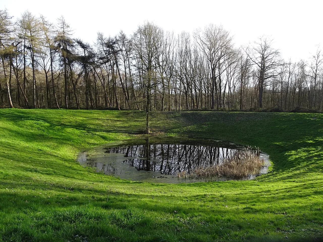
Hill 60 is a low, cratered ridge on the southern side of Ypres (Ieper), made from railway spoil and preserved as battlefield ground rather than a museum: you walk the ridge and look into the mine craters over ground shaped by the fighting. It sits in the southern part of the Ypres salient, so it pairs naturally with the wider set of Ypres Attractions covered elsewhere on this site.
What Hill 60 is and where it sits in the Ypres salient
The Ypres salient was the bulge of Allied-held ground that pushed east into German positions around the city, and Hill 60 lay in its southern sector, near the village of Zillebeke. In the flat country south of Ypres, any slight rise gave whoever held it a view over a wide stretch of the front, which is why such a modest feature was fought over so hard. The Battle of Hill 60 ran from 17 April to 7 May 1915, as the Cambridge college account of the fighting records.
From the ridge the view opens across the low fields towards Zillebeke and the town of Ypres. That view explains the site's whole history: those modest extra metres of height were exactly the observation the armies wanted, and the cratered ground is the result.

Why a spoil heap mattered: the railway cutting and the created high ground
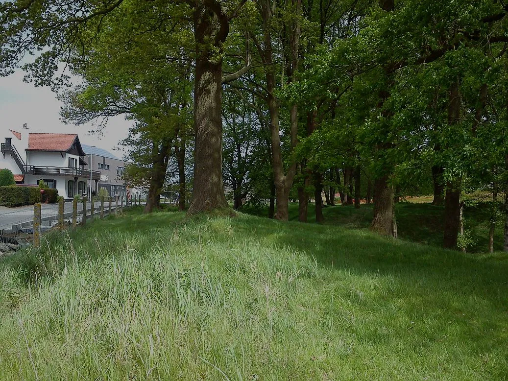
Hill 60 was not a natural hill. When the Ypres to Comines railway was built it had to pass through a slight rise, so a cutting was dug and the excavated spoil was dumped alongside, forming three large heaps. The British named them The Caterpillar, The Dump and Hill 60, with the last sitting on top of the ridge and giving a commanding view over Zillebeke and Ypres.
That origin is the detail that makes the site worth seeing rather than just reading about. A heap of railway spoil, only a few metres above the surrounding fields, became a prize because the surrounding land was flatter still. You will walk up a short slope, not a hill in any dramatic sense, and still feel how much the extra metres mattered.

The fighting: 1915 and the underground war beneath the ridge
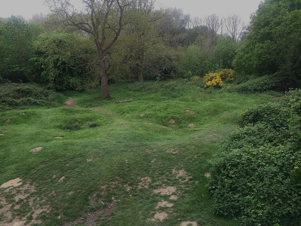
Above ground the ridge was shelled and stormed repeatedly, and the churned, uneven surface you see today is the result of that fighting rather than any natural feature.
Walk the ridge with care and keep to the paths, since the craters are disturbed ground. It is a quiet, open site that rewards slow walking more than photography. Tour descriptions of the southern salient often include it as a stop, describing it as the preserved war landscape around Ypres, with a strategic position of great importance and a target in a series of intense fights.
What survives today: cratered ground and the memorial ground
What you see is the shape of the ground itself: the ridge and the hollows left by the fighting. The visit is self-guided, so read up before you go, because the terrain on its own does not explain itself.
Stand at the top and look both ways along the ridge. The view towards Zillebeke and back towards Ypres is the single most useful thing on site, and it connects Hill 60 to the villages and cemeteries you will pass on the same circuit. Several nearby sites are Commonwealth War Graves Commission cemeteries in their own right, including Hooge Crater Cemetery, Ypres, which is a short drive east.
Walking the site: the ridge, the craters and the views
Start at the entrance and follow the path up onto the ridge, then loop around the cratered area rather than striking out across it. The ground is uneven and can be soft after rain, so stout shoes matter more than on a paved town walk. The circuit is short, but the slope and the rough surface slow you down.
From the high point, orient yourself: Ypres lies away to the north, Zillebeke is close by, and the low fields stretch out around the ridge. That orientation makes the rest of a southern salient day easier to follow, since you will keep meeting the same names on memorials and cemetery signs. The Menin Gate (Menenpoort), Ypres, in the town itself, is the natural place to end such a day.
How much time to allow and how the visit fits a day south of Ypres
Hill 60 is too small for a trip on its own, so build it into a half-day loop of the southern salient with two or three other stops. Drivers and cyclists have the most flexibility, since the sites are spread across country roads.
A sensible pairing is Hill 60 first, then Sanctuary Wood Museum (Hill 62) a short distance east, then a cemetery or two before returning to Ypres. That order follows the ground from the created ridge to the museum and trenches, and finishes with the town's own memorials. If you want a single anchor for the day, the Passchendaele museum at Zonnebeke lies further north-east and takes more time.
Nearby: Sanctuary Wood and Hill 62, and how they differ from Hill 60
Hill 60 and Hill 62 are different sites and easy to confuse. Hill 60 is the cratered ground near Zillebeke; Sanctuary Wood and Hill 62 sit a little to the east and hold the museum and trenches. The two are separate visits.
If the trenches and exhibits at Sanctuary Wood appeal, go there for interpretation and treat Hill 60 as the landscape stop. If you prefer open ground and quiet, reverse the order and give Hill 60 the extra time. The Hooge Crater museum, Ypres, is another interpretation option on the same road east.
Getting to Hill 60 from Ypres and moving between the southern sites
Hill 60 lies south of Ypres near Zillebeke, reached by road from the town's southern edge.
Set your own route between the stops, and note the names as you go: Zillebeke, Hooge, Sanctuary Wood. The Langemark German cemetery, West Flanders, lies north of Ypres rather than on this circuit, so save it for a separate run. For the town end of the day, the ramparts cemetery Ypres sits on the old walls within walking distance of the centre.
Is Hill 60 worth the detour?
Yes, if you are already touring the southern salient and want to see the ground itself rather than another display case. It is a short stop, so its value depends on coming prepared and treating it as a memorial rather than an attraction. Skip it only if your day is already full of museums.
For the wider picture of the town and the other stops around it, the Ypres Attractions: 13 Visitor Guides collection sets Hill 60 alongside the Menin Gate, the cemeteries and the museums of the salient.
Explore more Ypres guides
Frequently Asked Questions
What is Ypres called now?
The city is Ieper in Dutch and Ypres in French and English; road signs and station boards use Ieper.
Can you visit Hill 60 without a guide?
Yes. You walk the ridge and craters on your own, so bring your own background reading to make sense of the ground.