Namur History: The Citadel, the Meuse and the City's Story
Namur's history runs from a Celtic trading settlement to Vauban and Coehoorn's fortress. See which periods shaped the city and where they survive on the ground.
On this page
Namur's history is best understood as one long argument over a single rocky spur above the Sambre and the Meuse. The Citadel you climb today looks medieval at first glance, but roughly 90 per cent of it dates from the Dutch rebuild of 1815-1830, a fact that changes how you read every wall on the hill. Below it, the old town grew up around the confluence and the trade routes that crossed there. This guide takes the city's story period by period and ties each one to a place you can actually stand in.
Why the Sambre and Meuse made Namur
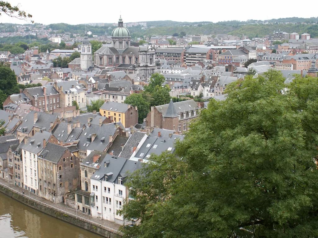
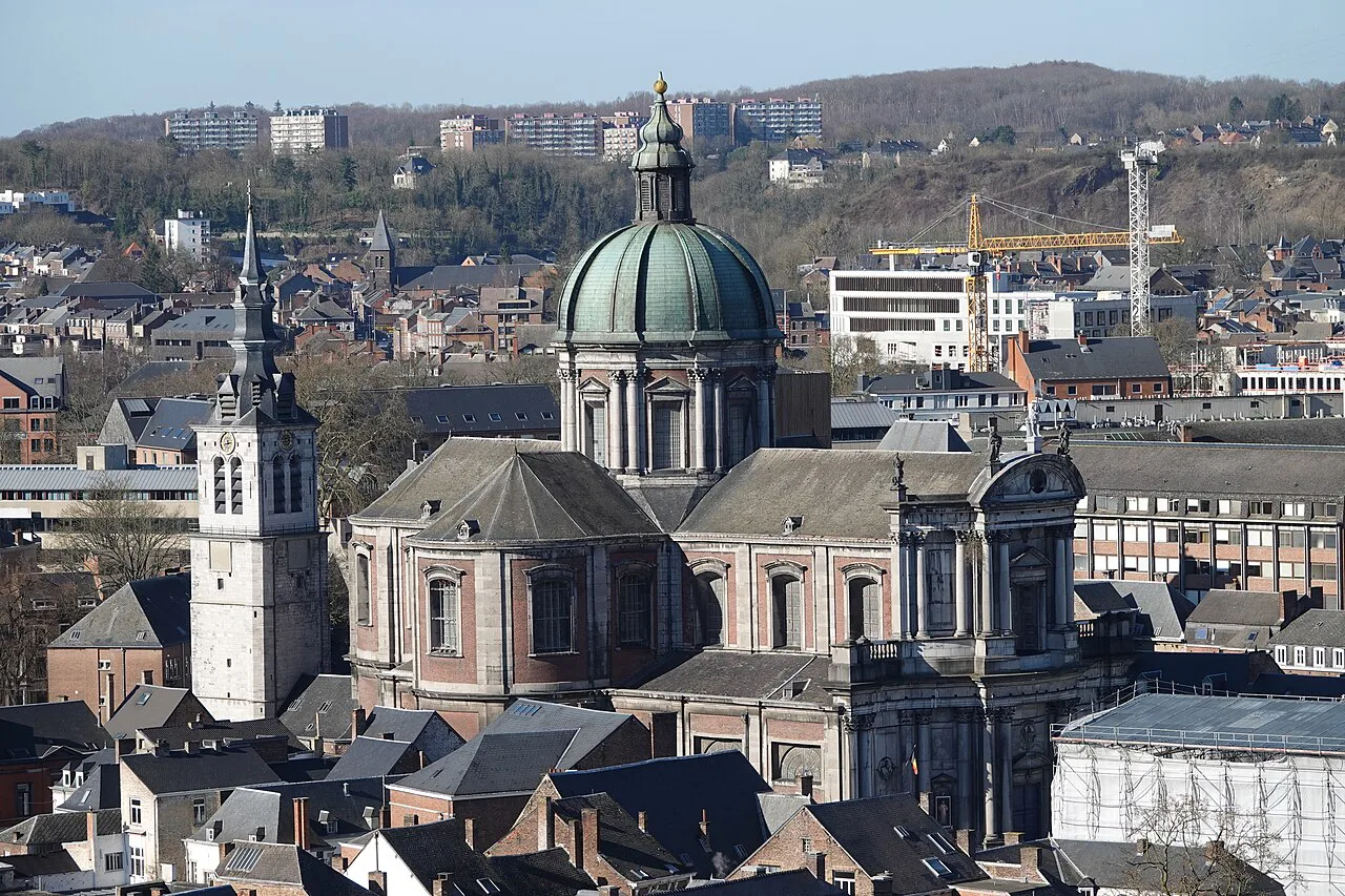
Namur (Namen) sits where the Sambre joins the Meuse, a crossing point that made the site a natural checkpoint for east-west and north-south trade through the Ardennes. That position is the thread running through the city's whole story: whoever controlled the confluence controlled the roads around it. When you look down from the Citadel, the two rivers show you exactly why the hill mattered. Keep that view in mind as you read the rest.
A Celtic trading settlement on the Ardennes routes
Namur began as an important trading settlement in Celtic times, straddling the east-west and north-south routes across the Ardennes. Long before any castle, the river crossing and the roads gave the place its value. That early origin is easy to forget when you are standing in front of a 19th-century rampart, so hold it as the first layer of the city. Everything later, from the counts to Vauban, was built on a site that had already been a crossroads for centuries.
The medieval castle and the counts of Namur
In the Middle Ages a fortified residence was built at the tip of the rocky spur and gradually turned into a real castle. It had two parts: the castle itself with towers and high walls, and a dam wall in front. Inside the enclosure stood the residence of the counts of Namur, a collegiate church bordered by the canons' houses, reception rooms, a great tower, a bakery, cellars, stables, chapels, a falconry, wells and water tanks. Beyond the protective ditch, a wall and four towers barred the base of the spur between the Sambre and the Meuse. What survives of all this is only the general look of the stronghold: three towers, stretches of wall and some vestiges of the enclosure.
Charles V, François I and the shift to bastioned defence
From 1519 the conflict between Charles V, emperor of the Low Countries, and François I of France set off an arms race that accelerated artillery and fortification techniques. A new form of defence appeared: lower, wider walls covered with earth, backed by underground construction and bastions. At Namur a bastioned front known as the Median was built at the top of the castle, with a curtain wall and two bastions each holding a casemate. Despite later modifications, the shape of these works and the casemates are still visible, which gives you a physical marker for the moment the medieval castle began to be superseded.
Terra Nova and the fortifications of the 17th century
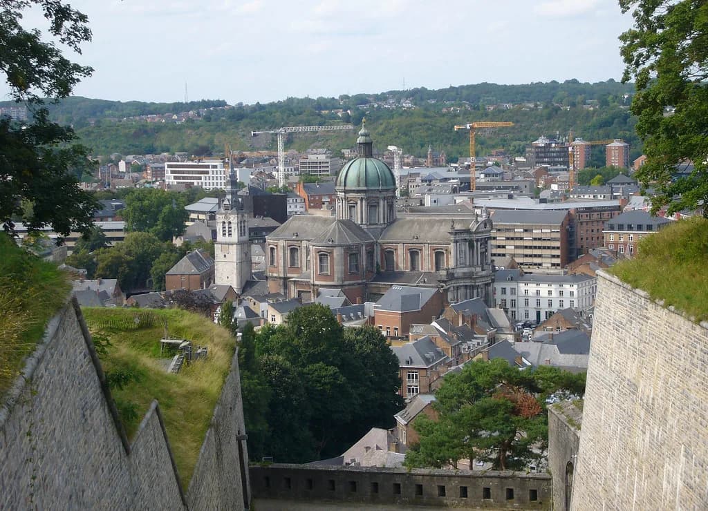
After Spain entered the Thirty Years War, the Citadel was improved and extended again. Between 1631 and 1675 a new defence terrain called Terra Nova, or new land, was created, with a large hornwork flanked by two half-bastions at its highest point and a full bastion protecting the Sambre side. The ditch and the layout of these fortifications can still be seen on the ground. Notice that the later engineers kept returning to the heights because the hill had two weaknesses: the La Foliette ravine, which let attackers approach under cover along a gentle slope, and the lower parts of the site, which favoured an attacker arriving from above.
Vauban, Coehoorn and the galleries under the Citadel
Beneath the ramparts runs a network of underground galleries built in several stages between the 16th and the 20th century. Originally about seven kilometres long and now roughly four, the passages of the Citadel of Namur are described by the fortress itself as one of Europe's most important citadel networks. The most prominent military engineers of the period worked on them, including the Frenchman Sébastien le Prestre de Vauban (1633-1707) and the Dutchman Menno van Coehoorn (1641-1704). Walking the surface gives you the shape of the defences; the galleries are where the engineering becomes tangible.
The Dutch rebuild of 1815-1830: the Citadel you walk through today
After the Napoleonic conquests and the French defeat at Waterloo, the Congress of Vienna attached the territory of Belgium to the Netherlands and set out to keep France within its borders with a new belt of fortresses. The Citadel was rebuilt by the Dutch, partly following the line of the old ramparts, and about 90 per cent of the Citadel as we know it today dates from this period. That is the single most useful fact for a visitor: the bulk of what you see is not medieval, even where it looks it. Read the walls with that in mind and the hill becomes far easier to follow.
The nine concrete forts and the end of the military Citadel
From the end of the 19th century, the construction of nine concrete forts around Namur made the Citadel useless as a defence tool. Only the parts called Median and Terra Nova kept a military function, mainly as barracks. The last military regiment left the site in 1977, which is where the long story of the fortress as a working military installation ends. That date matters for how you experience the place: almost everything around you is a decommissioned shell, not an active garrison.
From fortress to leisure ground
Once the forts had taken over, the Citadel was turned into a leisure and walking venue. A hotel was built on the heights, along with a games stadium and an open-air theatre, and the stadium pediment still carries the Latin inscription Ludus pro patria, games for the fatherland. Access was eased by two scenic routes, a tram line and a funicular. The site also played a final military role in the Second World War as the command Post of the defence line of Namur, before the last regiment left in 1977. That layered history, military and civic in turn, is what makes the hill such a good introduction to the city.
Where to read each period on the ground
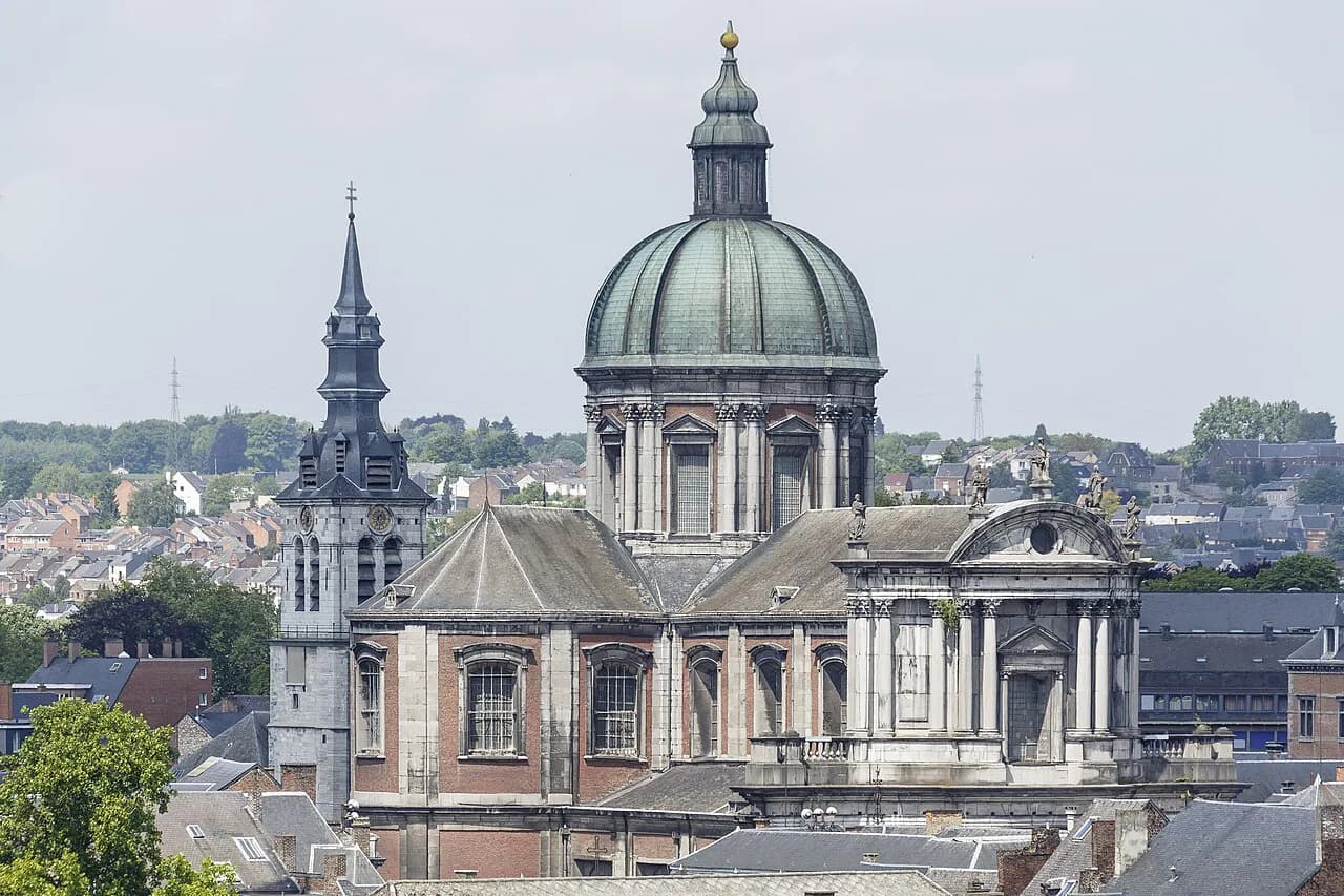
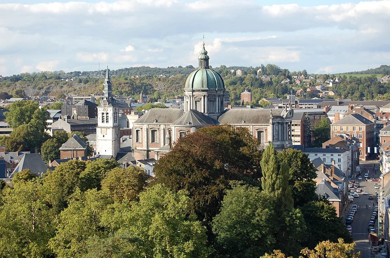
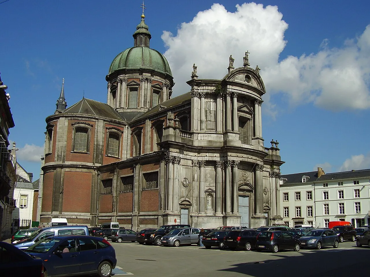
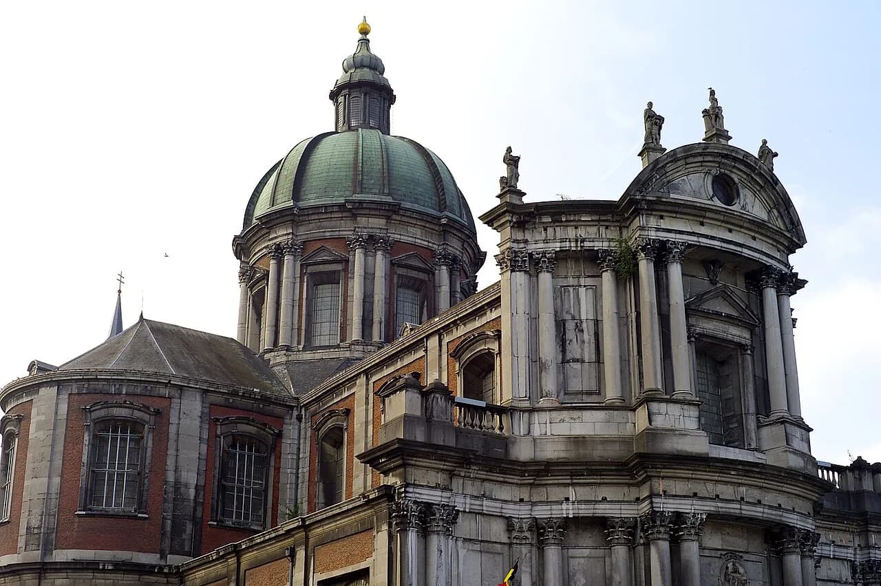
Start with the Citadel itself, where the three surviving medieval towers, the Median bastions and the Terra Nova ditch let you compare the medieval, 16th-17th-century and Dutch phases in a single walk. The Terra Nova visitor centre takes you through the history of Namur in more depth and, together with the underground passages, gives the fortress its context. Below the hill, the old town and its religious buildings give you the civilian side of the story, and the Namur Cathedral is the obvious place to start if you want to see how the city built in peace rather than for defence.
If you want to place the city's later art and architecture in sequence after the fortress, the Museums in Namur are where the post-military story is easiest to follow. Treat the Citadel as the spine and the town as the companion piece: the hill explains why Namur existed, while the streets below show what the city did once the guns had gone.
How much time the Citadel and its history need
Allow half a day for the Citadel and Terra Nova if you want to follow the periods properly rather than tick off the view. The site is large enough that a quick look at the ramparts will blur the medieval, 17th-century and Dutch phases together, which defeats the point of coming. On a one- to four-day Namur break, pair the hill with a walk through the old town on the same day, so the civilian and military halves of the story sit side by side.
For the underground galleries and the visitor centre, plan around the Citadel's own published visit options rather than any secondhand schedule. If your time is short, prioritise the surface walk and the Terra Nova centre; if you have longer, add the passages. The rest of the city, including its cathedral and museums, fits comfortably into the remaining days.
Is the Citadel the best introduction to Namur's history?
Yes: the Citadel is the one place where Namur's whole story, from the medieval counts to Vauban, Coehoorn, the Dutch rebuild and the final regiment in 1977, can be read in a single walk. Go with the 90 per cent Dutch-era figure in your head and the walls stop being anonymous stone. Then spend the afternoon in the old town to see what the city built when the fighting was elsewhere.
Explore more Namur guides
Frequently Asked Questions
What is Namur famous for?
Namur is known above all for its Citadel, the fortress on the rocky spur above the confluence of the Sambre and the Meuse. The site brings together a medieval castle, 16th- and 17th-century bastioned defences, a major network of underground galleries, and the Dutch rebuild of 1815-1830 that gives the Citadel most of its present shape. Below the hill, the old town is the civilian counterpart to that long military story.
What does Namur mean in English?
Namur is the French name of the city; in Dutch it is Namen. English usage follows the French form. You will see both on road signs and station boards in Belgium, so it helps to recognise the pair when you are planning routes.
Sources
Useful notes for your next trip
Optional updates to our guides.
You might also like
Continue reading
More guides you'll find useful