
Sainte-Marguerite, Liège: the Hillside District West of the Centre

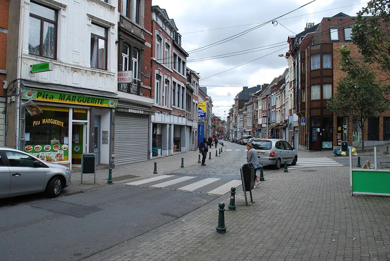
Sainte-Marguerite is worth a half-day only if you want to see how a working Liège district is being rebuilt; for conventional sightseeing, stay closer to the Meuse. It is a residential neighbourhood on the left bank, west of the centre, spread across the valley of the Légia stream and the wooded slope of the Naimette hill. This guide covers where the district sits, how it is laid out, what is changing around the Fontainebleau road, and who it genuinely suits.
Where Sainte-Marguerite sits in Liège
Sainte-Marguerite is one of Liège's administrative districts, on the left bank of the Meuse and west of the historic centre. It occupies the valley of the Légia, a small stream running down to the river, with the ground rising towards the Naimette hill on its western side. Streets follow the valley floor while others climb the slope, so a short walk can involve a stiff gradient.

How the district is laid out
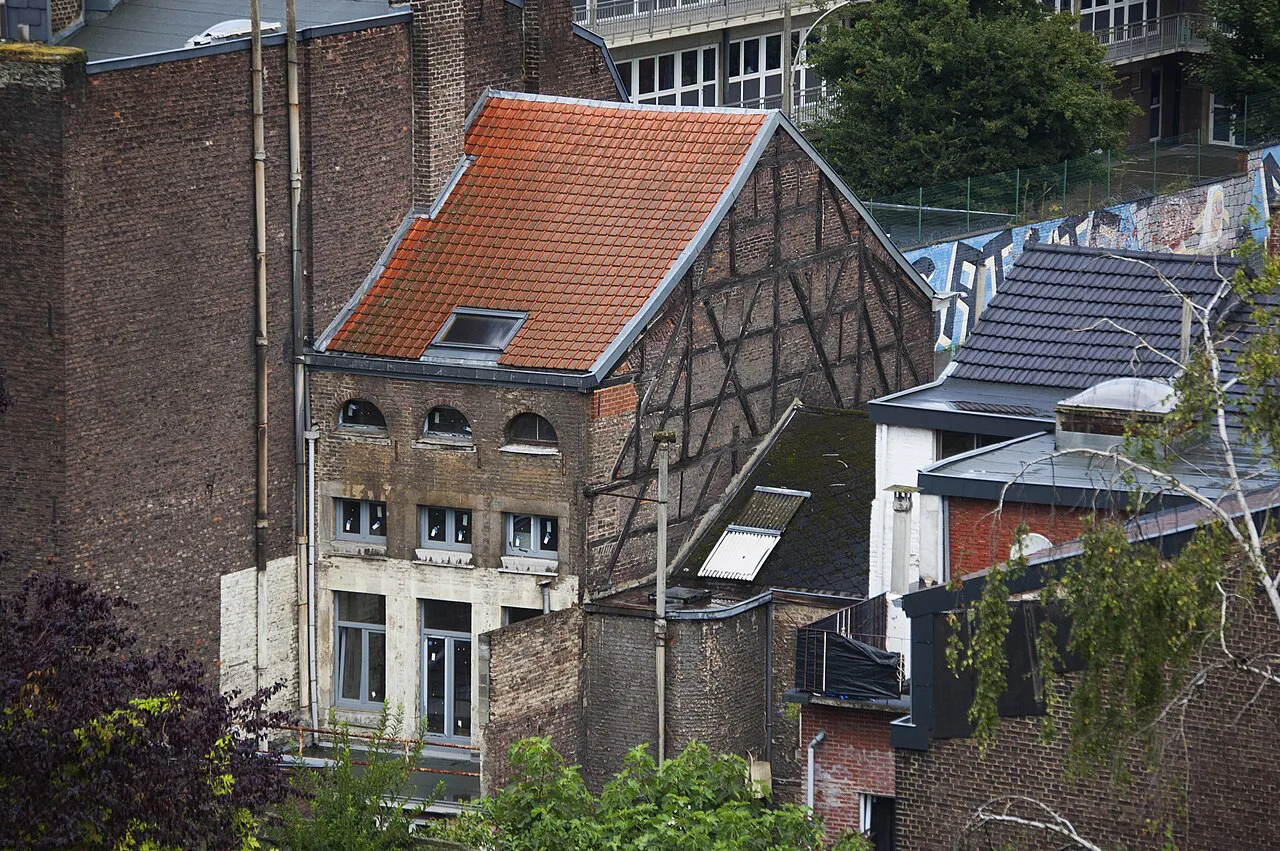
Three features organise the neighbourhood. The Légia valley carries the older street pattern and the district's civic buildings, the Naimette hillside closes the view to the west as a wooded slope, and the Fontainebleau road corridor is a motorway-style spur cut through in the 1970s that still dominates the centre of the district.
That road had a heavy impact on the neighbourhood and is central to what happens next. A scheme led by the city aims to replace the fast road with a calmer urban boulevard, add a park at the foot of the hill and extend green space across the plateau towards the streets around Rue Henri Vieuxtemps and Rue Xhovémont. If you walk the district now, you are seeing the corridor before that transformation takes hold.
Around the edges the district runs into neighbouring quarters rather than ending abruptly. Rue Saint-Séverin and the streets off it sit in the valley core, while the higher ground towards Naimette gives onto residential slopes above the centre. Plot a route that descends rather than climbs if you want an easy finish.
Character and the Fontainebleau redevelopment
This is a predominantly residential district shaped by the transformations of the 1970s, and the works now planned are the largest change since. The Fontainebleau programme is designed around a calmer boulevard carrying a busway, the B1 Nord line, run by the Walloon public transport operator OTW, with a large park at the foot of the hill laid out against the wooded Naimette slope. Housing is the third strand, with more than 340 homes planned across four sites, mixing public, social and private tenure.
Those homes mean the reconstruction of the Îlot Légia with a widened Rue de la Légia, the conversion of the former Saint-Joseph clinic, and operations at Bas-Rhieux involving La Maison Liégeoise and the city. A passage beneath the hillside is planned to stretch the park up onto the plateau and link towards Rue Henri Vieuxtemps and Rue Xhovémont. The public realm is meant to gain a square with a ball-sports pitch and a playful fountain, plus reworked sports grounds with lawns, a skate and slide area, toboggans set into the embankments, basketball hoops and a street-workout zone.
As reported in April 2026, permits were expected in autumn 2026 and works to begin in autumn 2027; treat those as a planning timeline rather than fixed dates.
Who the district suits
Sainte-Marguerite suits travellers curious about urban change and willing to walk a hillside neighbourhood without a ticketed attraction at the end. It rewards an hour or two of wandering along the valley streets, looking up at the Naimette slope and reading the shape of the Fontainebleau corridor while it is still there. Bring an interest in architecture, planning or recent Liège history rather than a list of sights.
It suits less well anyone on a one- or two-day first visit, or anyone who wants museums, squares and cafés within a few minutes of each other. If that is your trip, base yourself nearer the centre; the pattern of historic streets around Hors-Château gives you that density without needing a bus out here.
There is a middle course: stay central, spend a morning in Sainte-Marguerite and return across the river for the afternoon, so a hillside detour adds context to the rest of your trip rather than consuming it. If you want to compare several districts before committing, the Liège Neighborhoods: 6 Area Guides sets them side by side.

What to see on foot
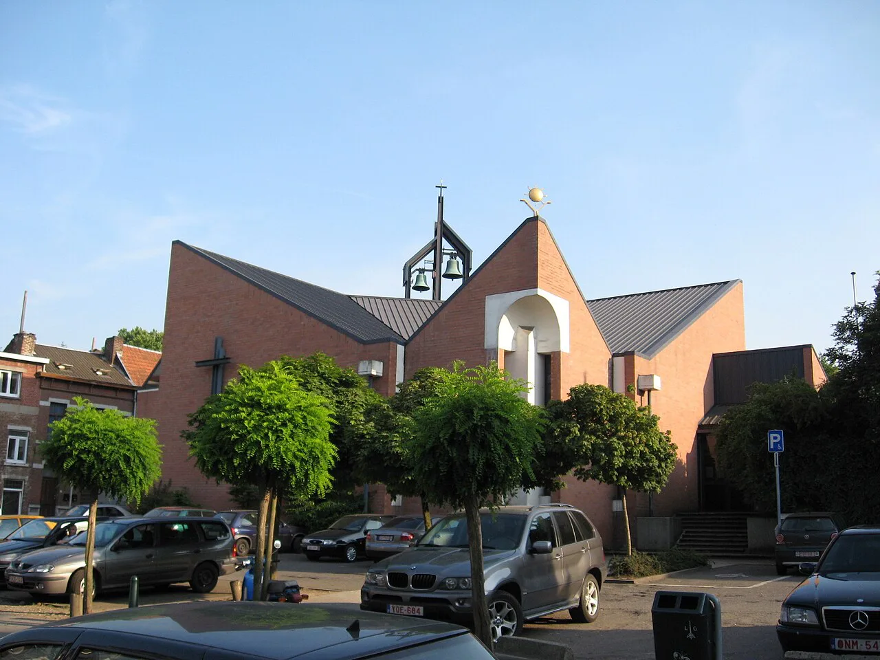
Sainte-Marguerite is a walk, not a checklist. Start in the valley core around Rue Saint-Séverin, follow the streets that trace the Légia's course, then take any lane that climbs towards the Naimette woods for the clearest sense of the district's contours. The views are partial and domestic rather than panoramic, which is the honest appeal of the place.
The Fontainebleau corridor is the other thing to look at, and the reason the district is changing. Walk beside it to understand the scale of the cut, then picture the boulevard, busway and park that the scheme proposes. Combining the two halves takes a couple of hours at an unhurried pace, hills included.
If you want the classic Liège sights afterwards, cross back towards the centre for the Montagne de Bueren and the streets below the citadel; the pick of things to do in Liège covers what to slot in. Add the flat riverside streets of Outremeuse for contrast.
The quartier mairie on Rue Saint-Séverin
Each Liège district has a local office, the mairie de quartier, and Sainte-Marguerite's is at Rue Saint-Séverin 46. It handles residents' administrative business rather than tourism, but it is a useful fixed point on the map and a marker for the valley core. The building is closed on Saturdays and Sundays, and on weekdays it serves the public from 08:30 to 12:30 and 13:30 to 16:00, with ticket distribution ending a quarter of an hour before each closing time.
You are unlikely to need it as a visitor, but it tells you something about the district: this is a place with its own civic infrastructure, not a strip of attractions. It sits within easy walking distance of the streets following the Légia, so it works as a starting point for a loop.
Getting there and getting around
Sainte-Marguerite lies west of central Liège on the left bank, so the simplest approach is to cross the Meuse and head uphill into the valley on foot or by bus. The busway B1 Nord is planned to run along the new boulevard as part of the Fontainebleau scheme; until then, walking is the practical way to see the streets themselves, and distances within the neighbourhood are short if you accept the gradients.
Allow more time than the map suggests. The valley streets are gentle, but the lanes climbing towards Naimette and the plateau around Rue Henri Vieuxtemps and Rue Xhovémont are steep, and the Fontainebleau works will reroute footpaths and traffic as they progress. Build in a return leg that goes downhill, and keep your plan loose enough to turn back if a road is closed.
For a livelier central contrast, Le Carré, Liège packs its bars and cafés into a compact grid a short walk from the main shopping streets, which makes a straightforward evening pairing with an afternoon on the hillside. Pierreuse offers a flatter analogue for the stepped lanes, climbing towards the citadel from a more central position. Saint-Laurent, Liège sits just north along the left bank and is easier to fold into a sightseeing day.
Is Sainte-Marguerite worth the walk?
For most visitors the answer is no on a short break, and yes if urban regeneration is part of why you travel. The district gives you the Légia valley, the Naimette hillside and a road corridor about to be remade into a boulevard, a busway and a park. Go for two hours with your eyes open, not for a checklist.
Base yourself nearer the centre and treat Sainte-Marguerite as a deliberate detour, or compare it with central quarters such as Hors-Château before you decide. Either way, the district rewards a traveller who arrives knowing it is a neighbourhood in transition rather than a sightseeing stop.
Explore more Liège guides
Frequently Asked Questions
Is Sainte-Marguerite a good area to stay in Liège?
The district is residential, and stays are best chosen nearer the centre if you want museums, squares and river walks on your doorstep. Sainte-Marguerite is most useful as a half-day walk for travellers interested in urban change, with a bus or a river crossing needed to reach the main sights.
What is being built in Sainte-Marguerite?
The Fontainebleau scheme plans to replace the motorway-style spur with a calmer urban boulevard carrying the B1 Nord busway, add a large park at the foot of the Naimette hill, extend green space onto the plateau, and build more than 340 homes across four sites. The city reported an expected permit stage in autumn 2026 and works from autumn 2027.
How long does it take to see Sainte-Marguerite?
Two hours covers the valley core around Rue Saint-Séverin and a look at the Fontainebleau corridor, hills included. Add time if you climb towards Naimette, where the gradients are steeper than the map suggests.